
Tuqu’ Town Profile
Tuqu’ is a Palestinian town in Bethlehem Governorate located 12km (horizontal distance) south-east ...
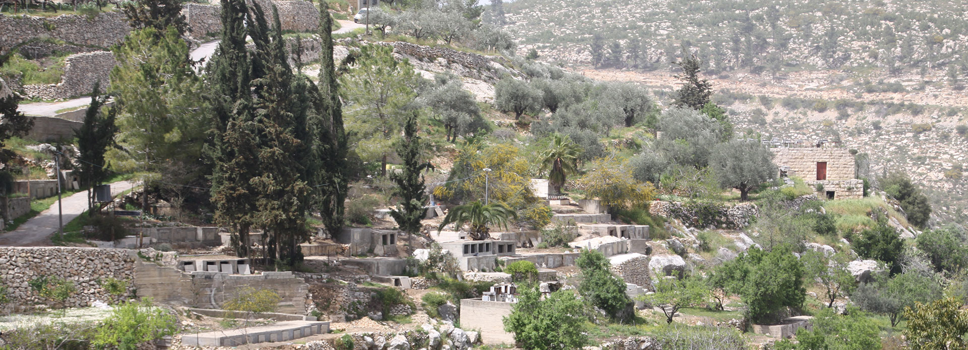
Battir is a Palestinian village in Bethlehem Governorate located 6.4km (horizontal distance) north-west of Bethlehem City. Battir is bordered by Beit Jala town and Al Walaja village to the east, Husan village to the west, Husan and Al Khader to the south, and the 1949 Armistice Line (the Green Line) to the north. The name Battir originates from the Phoenician word “Batara”, which means sever and slash as it does in Arabic. Other narratives refer the name to Beit at tair (the house of a bird). Battir village dates back to the Roman and Canaanite eras, and the residents originate from Iraq and Yemen. For As for the archaeological sites in the village there are two sites: Ein Al Balad and Ein Jame’, and a Romanian bathtub.
Battir is one of the last West Bank farming villages that still uses irrigation systems from Roman times. The village’s ancient way of life and irrigation practices are in danger as Israel prepares to lay down its West Bank separation barrier. In addition, the construction of the separation barrier will deface Battir’s natural scenic views. Battir has a charming, rural landscape which was recently recognized by UNESCO with the Melina Mercouri International Prize for the Safeguarding and Management of Cultural Landscapes. Recently UNESCO recognizing the ancient terraces near the West Bank village of Battir as a world heritage site.
Tuqu’ is a Palestinian town in Bethlehem Governorate located 12km (horizontal distance) south-east ...

Artas is a Palestinian village in Bethlehem Governorate located 2.4km (horizontaldistance) ...

